
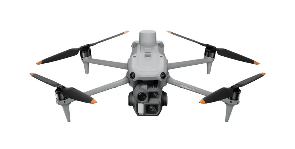
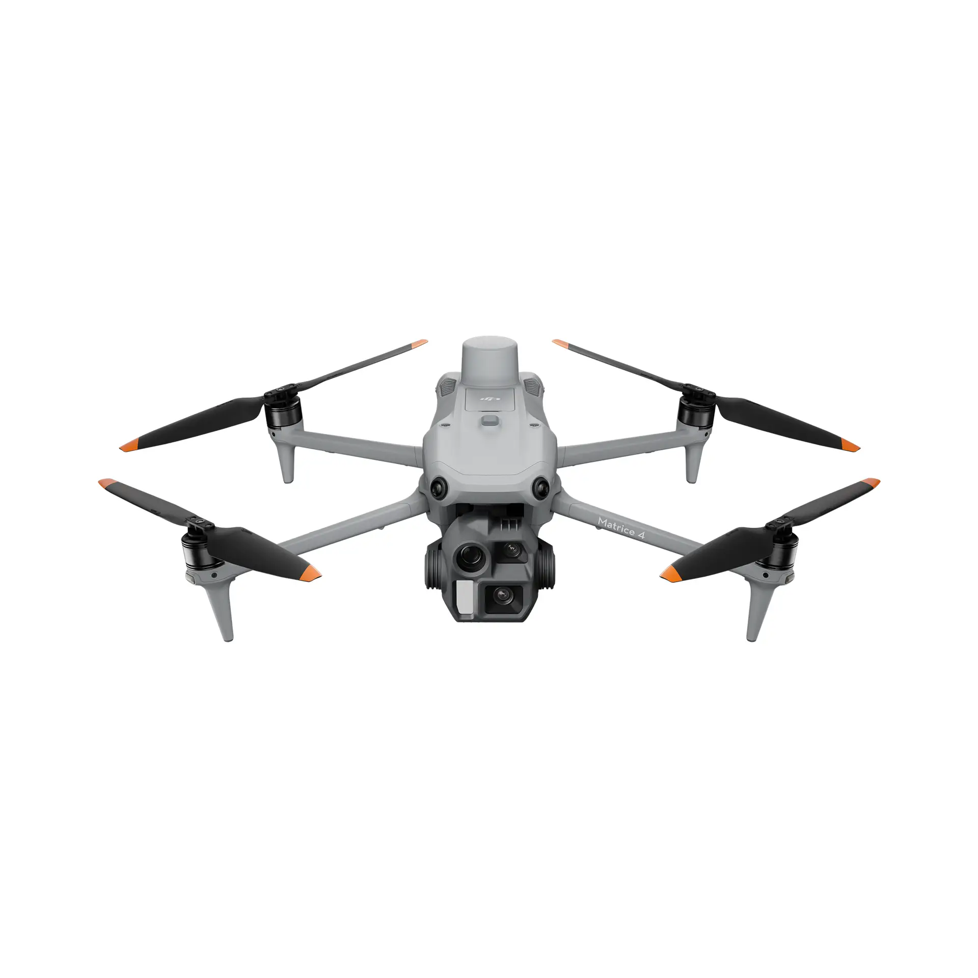
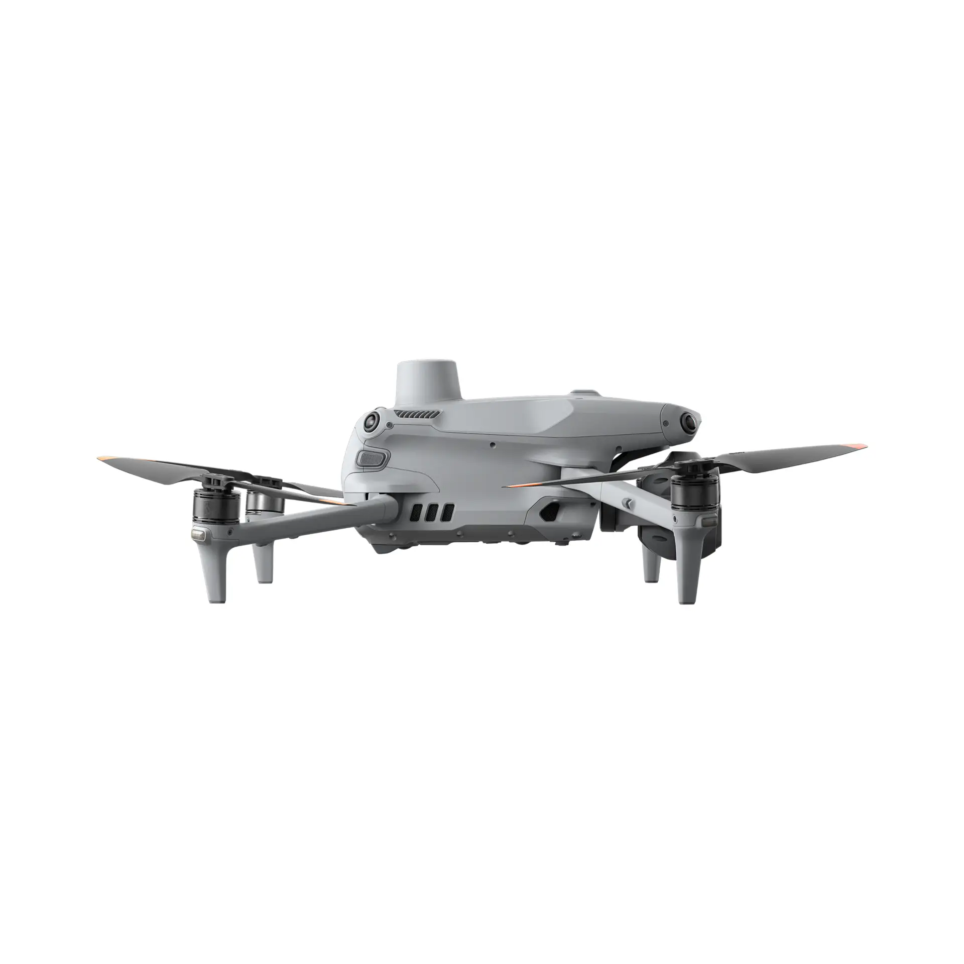
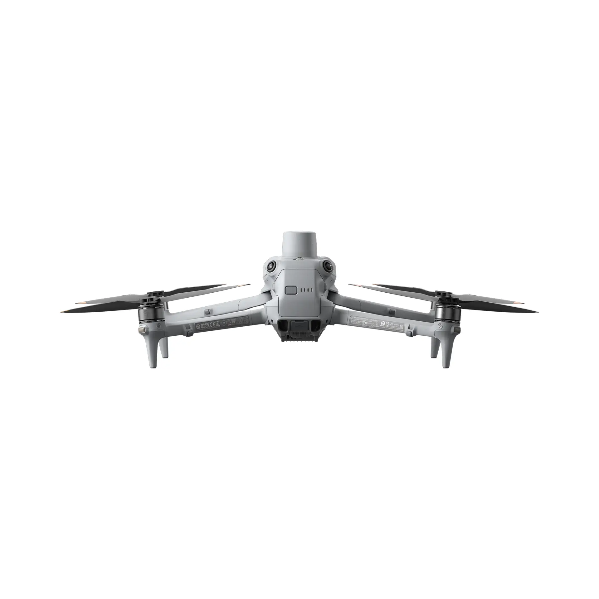
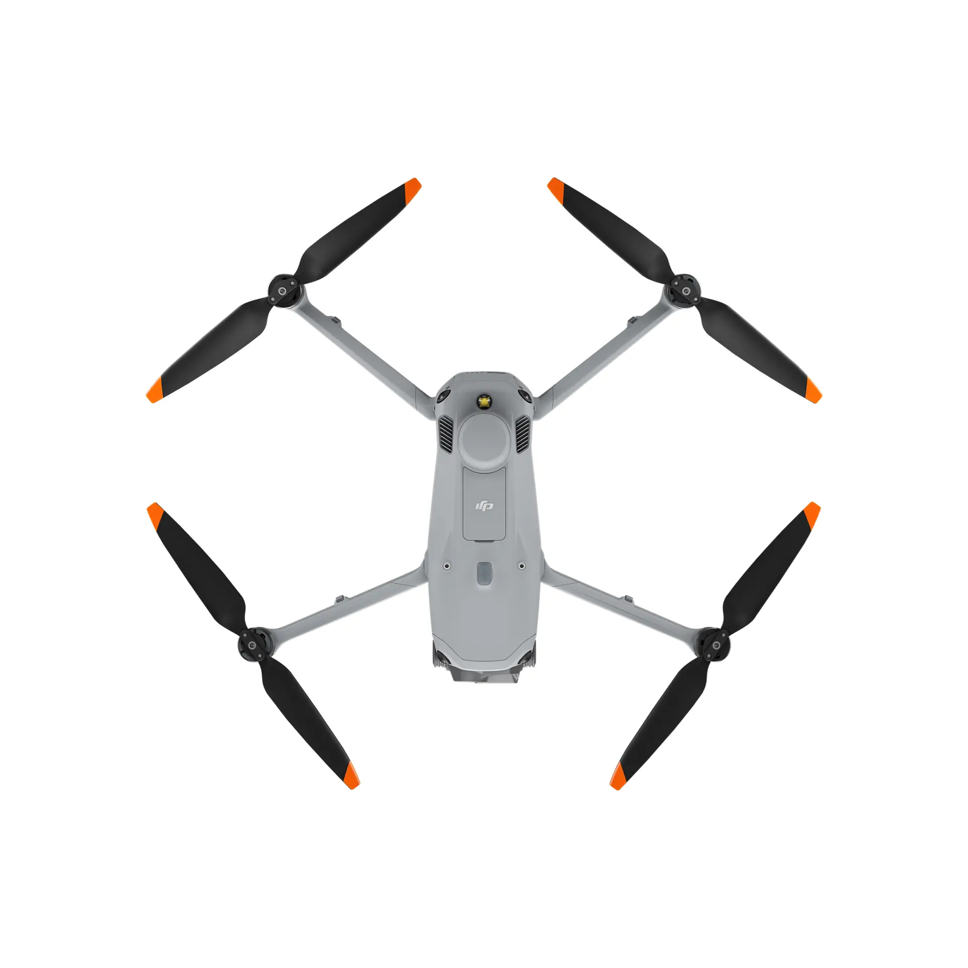
DJI Matrice 4E
20mp
wide
25km
range
49min
flight time
PRECISION MAPPING, AT SCALE.
The Matrice 4E is designed for geospatial applications where accuracy is non-negotiable. With its 4/3-inch CMOS sensor and advanced AI-powered path planning, it cuts down flight time while increasing data precision – simple as that.
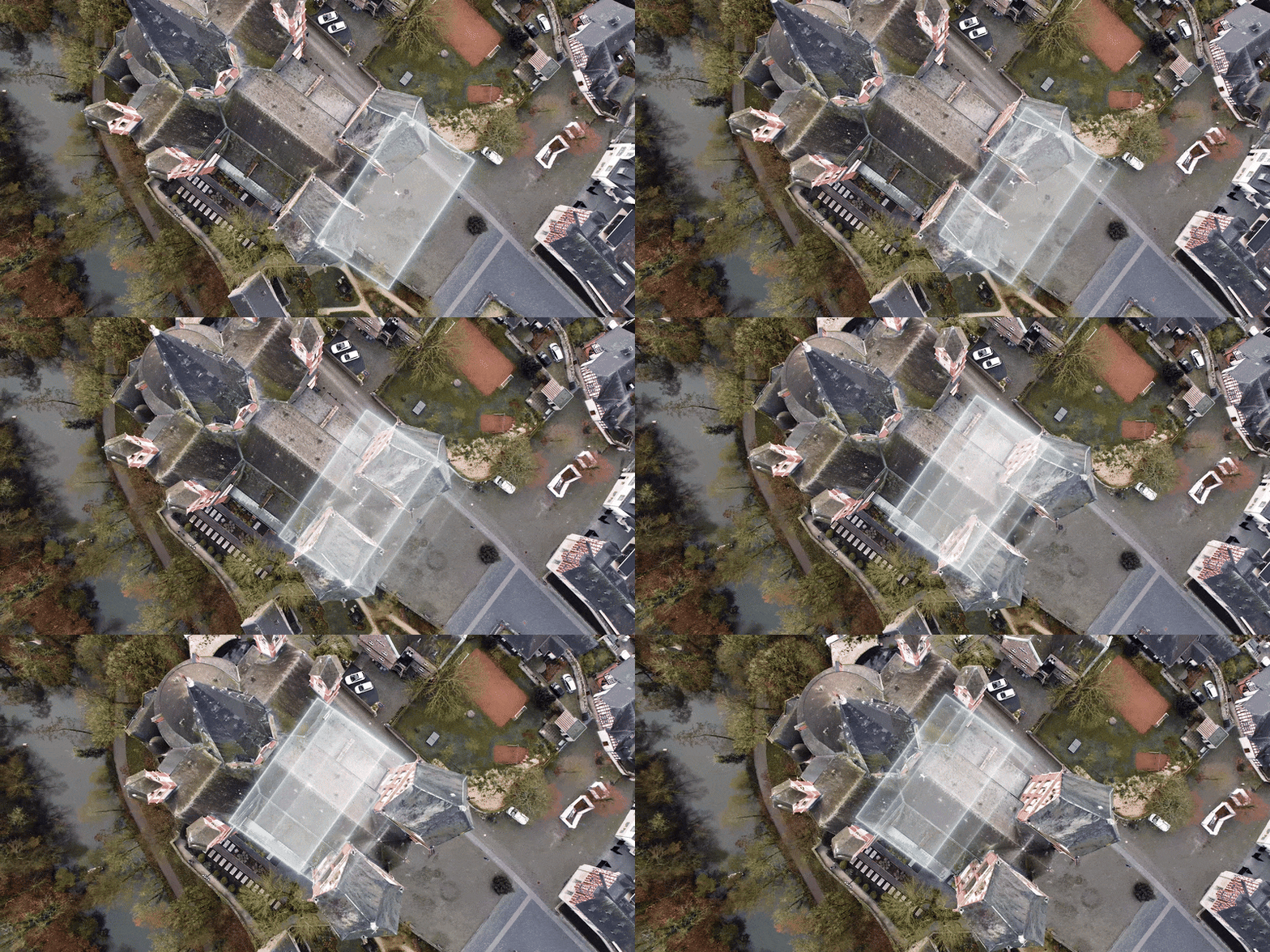
RAPID MAPPING, ZERO COMPROMISE.
With a wide-angle camera supporting 0.5-second interval shooting and mapping speeds of up to 21 m/s, the Matrice 4E is built to capture large areas in record time. It’s the high-speed efficiency your surveying operations demand.
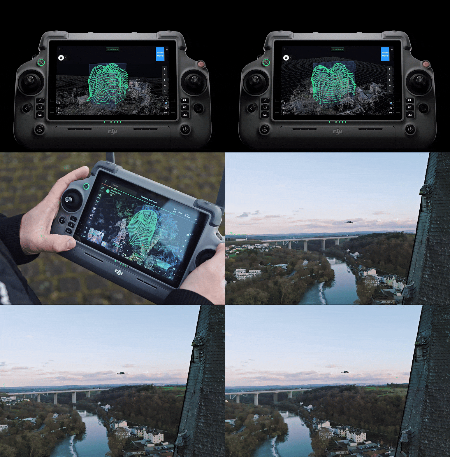
SMART 3D CAPTURE, PRECISE MODELING.
Create high-fidelity 3D models with ease. The Matrice 4E automatically generates flight routes close to structure surfaces, ensuring detailed, accurate measurements of irregular buildings and complex environments.
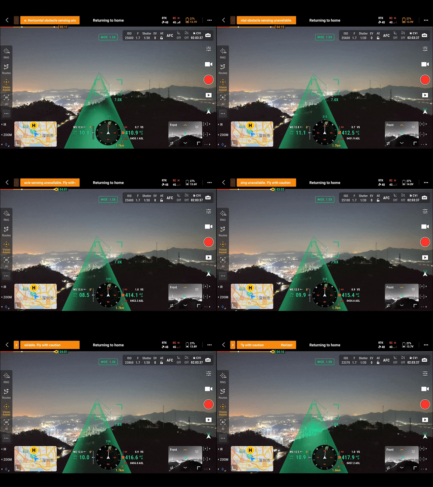
SAFE FLIGHT, WORRY-FREE.
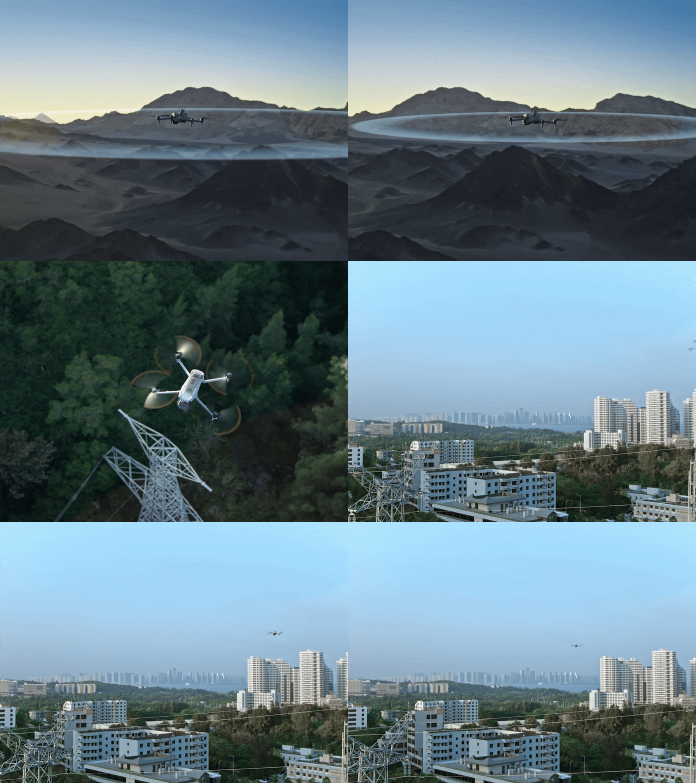
Equipped with omnidirectional obstacle sensing and RTK positioning, the Matrice 4E ensures your data is captured safely, even in complex or signal-obstructed urban environments.
O4 ENTERPRISE TRANSMISSION.
Experience stable, crystal-clear video transmission at distances up to 25km. With superior interference resistance and high-speed data download, your site uploads and media downloads are smoother and more reliable than ever.
Max Flight Time
Transmission Range
Max Wind Resistance
IP Rating
49 Minutes
25 km
12 m/s
IP55
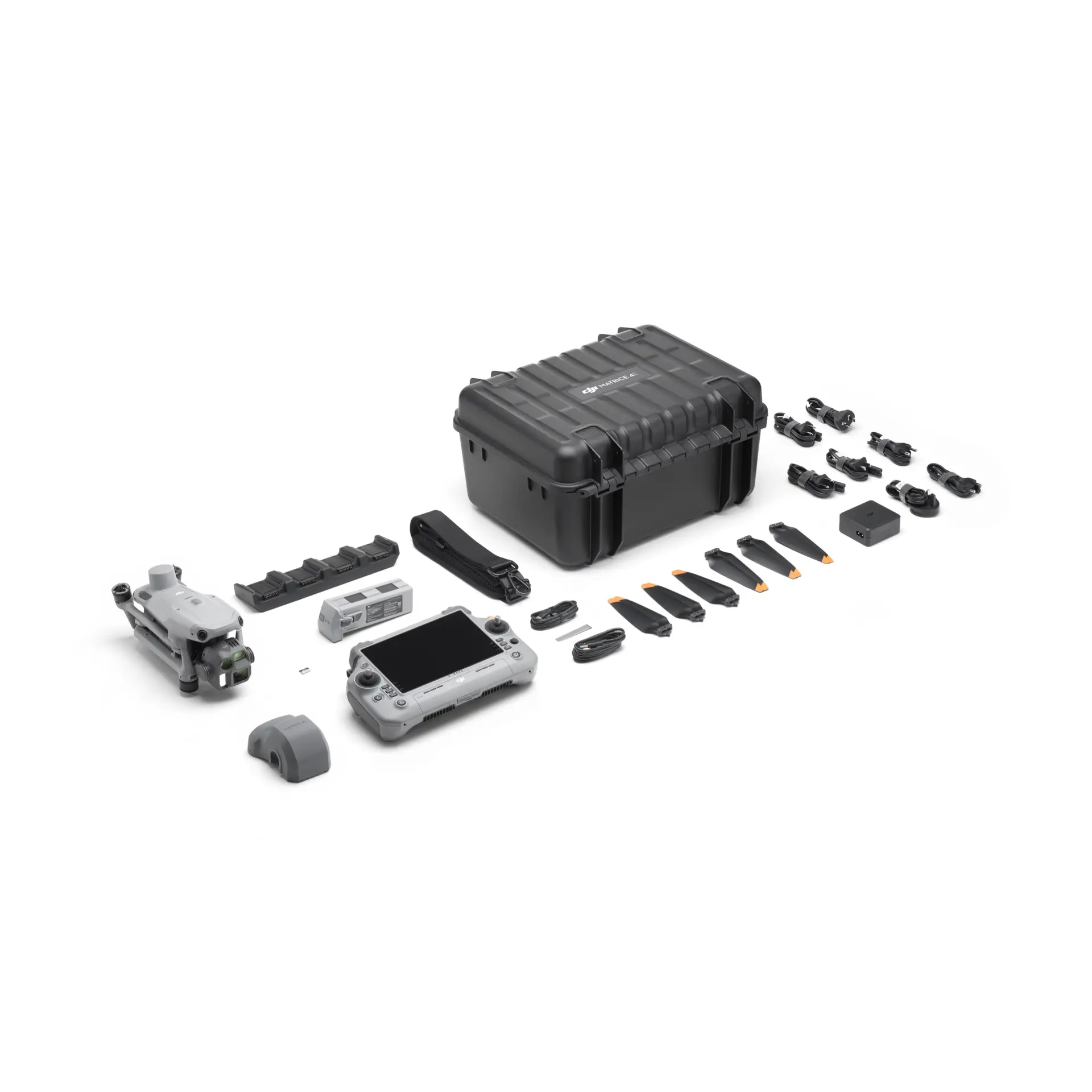
- DJI Matrice 4E × 1
- DJI Matrice 4 Series Battery × 1 (4x batteries in total in the combo)
- DJI RC Plus 2 Enterprise × 1
- DJI 100W USB-C Power Adapter × 1
- DJI Matrice 4 Series Charging Hub × 1
- 64GB microSD Card × 1
- DJI Matrice 4E Gimbal Protector × 1
- DJI Cellular Dongle 2 Pry Bar × 1
- DJI Matrice 4 Series Propellers × 3
- 100W Power Adaptor AC Cable × 1
- USB-C to USB-C Data Cable × 1
- USB-A to USB-C Data Cable × 1
- DJI Matrice 4 Series Storage Case × 1
- DJI Matrice 4 Series Storage Case Shoulder Strap × 1
- DJI Care Enterprise Plus (DJI Matrice 4E) × 1
- DJI Terra Pro for DJI Matrice 4E (12 Month Subscription) × 1
Operating Temperature
-10°C to 40°C (14°F to 104°F)
Max Wind Resistance
12 m/s
Max Operating Altitude
4000 m (with payload)
Operating Environment
Requires adequate light and surface texture for vision systems