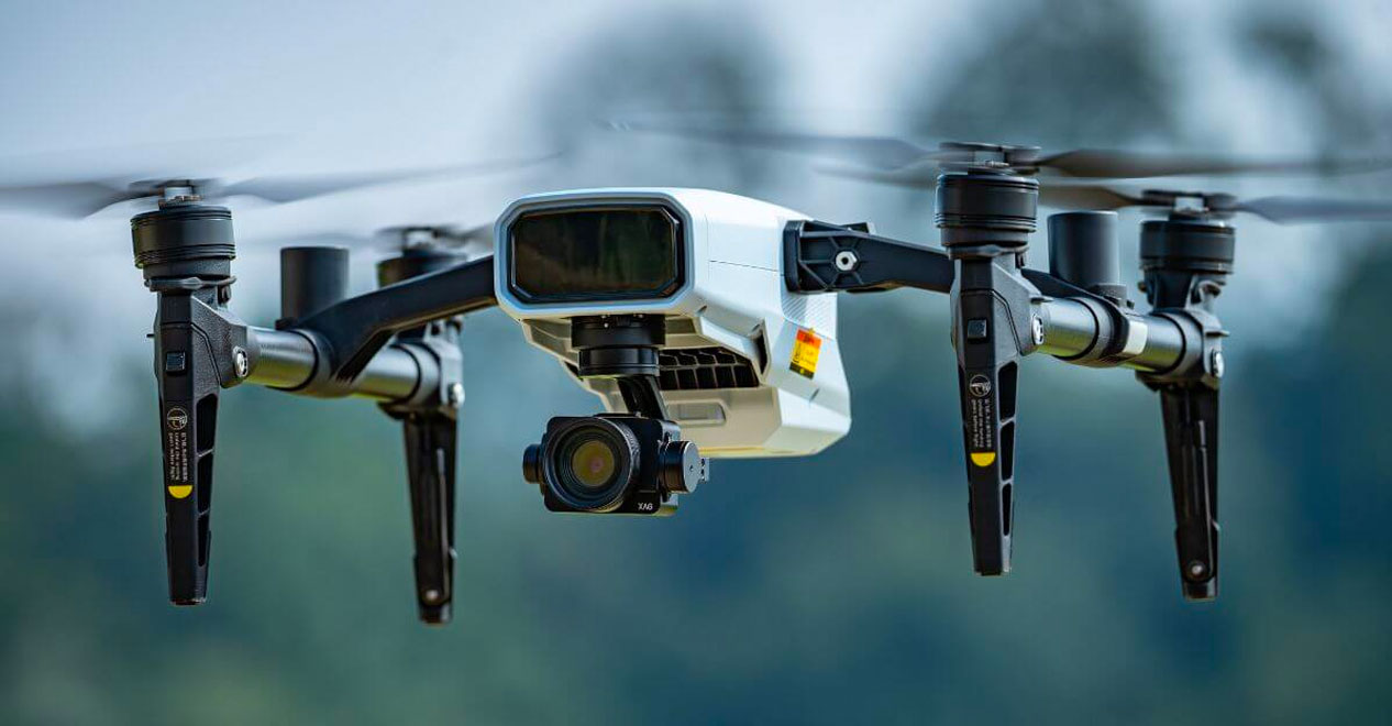
XAG Farming Automation

XAG M500 MAPPING DRONE

XAG M500 Remote Mapping Drone

The XAG M500 Remote Sensing Drone flies autonomously capturing high definition images to create second to none digital maps on the spot. 

XAG-M500
Play Video
XAG-M500-drone

On-Farm Mapping

Precise Mapping

The XAG M500 helps build a digital map of your farm with real time image stiching allowing for precise map creation on the spot

Weed Detection

The XAG M500 can be used for weed detection on crops and pasture. You can then select the weed areas for site specific spraying

Crop Growth Data

Fast gathering of data so that you can manage your crops with more efficiency.

XAG M500
SPECIFICATIONS

DIMENSIONS

682 x 682 x 177mm (unfolded)
389 x 220 x 156mm (folded)

MAX HORIZONTAL SPEED

10 m/s (Automatic)
9 m/s (Manual)

FLIGHT DURATION

25 minutes

HOVERING ACCURACY

10 cm (Horizental) 30 cm (Vertical) Accuracy subjected to RTK station conditions.

OPERATING FREQUENCY

2.400 GHz to 2.483 GHz 5.725 GHz to 5.850 GHz

VELOCITY

Max ascent velocity: 4m/s
Max descent velocity: 2m/s

MAX TAKEOFF ALITUTUDE

6000m

BATTERY

C500 Smart Battery (6000mah) Lithium Polymer Battery
130Wh capacity

XAG M500 Product Sales and Supprort

What is your point of difference.

Scroll to Top
| Cookie Policy